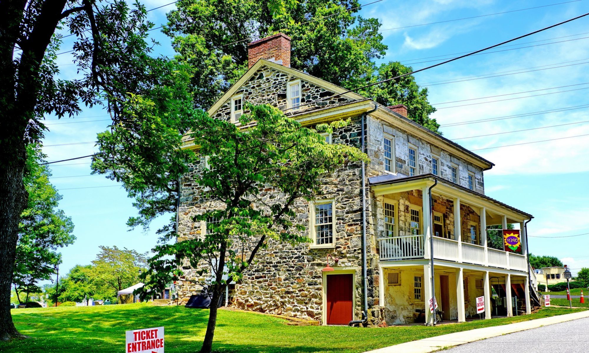
Seeking out colonial-era maps of Elk Landing local archaeologist, George Reynolds, stopped by this week. The Archaeological Society of Northeastern Maryland is sponsoring a summer field school at the Landing and George is preparing for the opening talk, as he conducted the first study on that historic parcel in the early 1980s. To flush out the lecture, George was searching for maps showing Rochambeau in Elkton so we scanned two of them (see below).
During the American Revolution French troops under Jean-Baptist de Rochambeau passed through Cecil County in 1781. As the army marched through the area, the general’s cartographer sketched out the advance.
Here are two included in the excellent reference, The American Campaigns of Rochambeau’s Army, which also contains a published journal detailing the movement. Anyone studying Cecil’s history during the Revolutionary War will find this title of interest. These 1781 maps show a cluster of nine structures at Elk Landing. They also show structures in the vicinity of North and Main streets in the center of Elkton (Head of Elk), as well as the placement of French military units.
Those interested in this subject will find this title helpful, as it’s one more method we’ve used to develop evidence-based interpretations of Cecil County during the Revolutionary War.


Also of Interest
Where did all Those Cannonballs Come From: The Treasures in the Soil Around Elkton.

My French friends in Plouberze,Brittany had a relative that served under Rochambeau/de Grasse, his name is Guy Guilleau, the French Memorial located at Yorktown identifies him by name….etched in the granite. The French lost over 4,000 soldiers / sailors fighting for the American revolution Guy Guilleau was one of them.