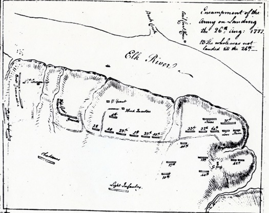
The Historical Society of Cecil County’s Winter Speakers Series continues on Dec 7, 2013, with a talk by Sean Moir. The speaker applies modern research methods to an old topic, the Philadelphia Campaign in the Revolutionary War and he approaches his subject from the perspective of a cartographer. Using historical temporal GIS mapping, Sean animates the story of the enemy invasion and the route through Cecil County.
As a professional mapmaker, he has worked with archaeologists to investigate the movements and engagements of General Howe during the campaign to capture Philadelphia and created evidence based interpretations. Detailed, computer-generated maps show how the troops moved, where they camped, and the engagement they were caught up in, during the first weeks of the famous Philadelphia campaign. This scholarly, fact based approach to inquiry into earlier times has resulted in a modern-age, animated map that allows the audience to closely follow along with events in 1777.
During the presentation, he will outline how on August 25, 1777, a fleet of 260 ships landed in the vicinity of Cecil Courthouse and Cecil Ferry on the Elk River. The army was low on supplies so General William Howe sent a division under General Wilhelm von Knyphausen into southern New Castle County to forage for supplies. That route brought the division ashore at the courthouse south of Chesapeake City and had units lodge near St. Augustine Church in Cecil County as the companies prepared to explore the territory north of present day Middletown. General Howe took the main British Army to Elkton or Head of Elk to rest and prepare for the advance toward Philadelphia.
On Sept. 3rd, the enemy army of 15,000 men broke camp and headed toward Aiken’s Tavern (today’s Glasgow). There advance units encountered a detachment of continental troops, Maxwell’s Light Infantry. As fighting continued, combatants fell back toward Cooch’s Bridge and Iron Hill, where the bulk of the action took place. Eventually Washington’s army was pushed back toward Wilmington and in time the fighting moved into Pennsylvania as Howe continued to advance on his objective, Philadelphia.
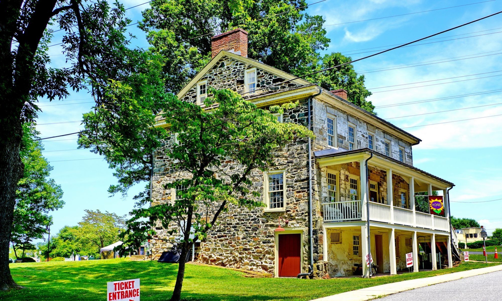
The free event takes place on Saturday, Dec. 7th at 2 p.m. the Society’s library at 135 E. Main Street in Elkton. Look for additional topics on the first Saturday of each month during the cooler weather months.

